AERONAUTICAL CHART SYMBOLS
In this document, the most widely used symbols are included, and the specific symbols for a type of chart will be explained on the chart itself.
The symbols may be shown in other colours, different from those given here, should the legibility of the chart so require, except in those cases where a single symbol in different colours could have different meanings.
AERODROMES
|
|
Civil aerodrome |
||
|
* |
|
Military aerodrome |
|
|
|
Joint, civil and military aerodrome |
||
|
|
Heliport |
||
|
* |
|
Military heliport |
|
|
* |
|
Military seaplanes base |
|
|
* |
|
Restricted aerodrome |
|
|
|
Militar restricted aerodrome |
||
|
* |
|
Aeromodelling/Drones It will turn purple for aeromodelling activities with a vertical limit greater than 120 m/400 ft. |
|
|
* |
|
Meteorological radiosounde station |
|
|
* |
|
Balloon |
|
|
|
Parachuting |
||
|
|
Paramotor |
||
|
* |
|
Gliding area |
|
|
* |
|
Microlight area |
|
|
* |
|
Surface with more than one activity |
|
|
* |
|
Abandoned or closed aerodrome |
|
|
|
Others | ||
|
|
Aerodrome on which the procedure is based (1) |
||
|
|
Other aerodromes (1) |
||
|
|
|||
|
(1) Runway pattern of the aerodrome, for flight procedures charts. |
|||
OBSTACLES
|
|
Tree or shrub |
|
|
|
Road | |
|
|
Spot elevation |
|
|
|
Terrain contour line |
|
|
|
Building or large structure |
|
|
|
Obstacle identification |
|
|
|
Transmission line or overhead cable |
|
|
* |
|
Controlling obstacle |
|
* |
|
Controlling obstacle higher than 100 m |
|
* |
|
Group of obstacles higher than 100 m with controlling obstacle |
|
|
Controlling obstacle elevation |
|
|
|
Mobile obstacle |
|
|
* |
|
Obstacle and group of obstacles |
|
|
|
Obstacle and group of obstacles higher than 100 m |
|
|
Lighted obstacle and group of lighted obstacles |
|
|
|
Obstacle higher than 100 m elevation non controlling |
|
|
|
Wind farm higher than 100 m |
|
|
|
Pole, tower, spire, antenna, etc. |
|
|
|
Terrain penetrating obstacle plane |
|
|
|
Fence |
AERODROME CHARTS
|
* |
|
Helicopter landing area on an AD |
|
* |
|
Hard surface runway |
|
|
Unpaved runway |
|
|
* |
|
CWY |
|
|
RESA |
|
|
|
SWY |
|
|
* |
|
Anemometre |
|
|
HRP |
|
|
* |
|
Arresting gear |
|
* |
|
Arresting gear |
|
|
Site of RVR observation point |
|
|
* |
|
WDI site |
|
|
Magnetic variation. |
|
|
* |
|
Boarding bridge |
|
|
VOR check point |
|
|
|
Stop bar |
|
|
* |
|
Light bar |
|
* |
|
NO ENTRY boards |
|
* |
|
Threshold identification lights |
|
* |
|
Hot spot |
|
|
Point light |
|
|
|
Runway-holding position. Pattern A |
|
|
|
Runway-holding position. Pattern B |
|
|
|
Intermediate holding position |
|
|
* |
|
Intermediate holding position lights |
SIGNIFICANT POINTS / RADIO NAVIGATION AIDS
|
Significant point / radio navigation aid representation |
||||
|---|---|---|---|---|
|
Navigation type |
Conventional or Area (Fly-by) |
Area (Flyover) |
||
|
Reporting |
On request |
Compulsory |
On request |
Compulsory |
|
INT |
|
|
- |
- |
|
NDB |
|
|
|
|
|
Waypoint (AREA ONLY) |
|
|
|
|
|
TACAN |
|
|
|
|
|
VOR |
|
|
|
|
|
VOR/DME |
|
|
|
|
|
VORTAC |
|
|
|
|
AIRSPACES
|
|
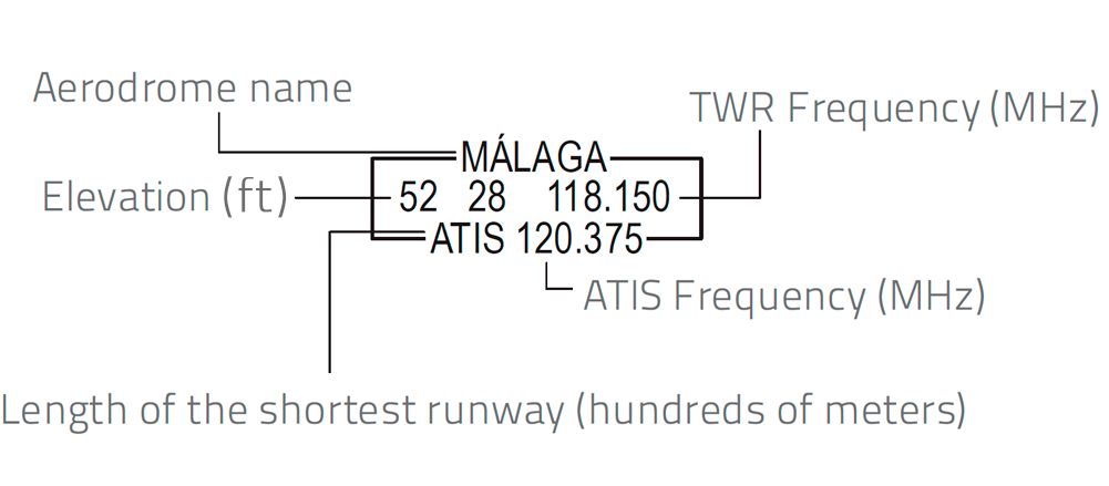
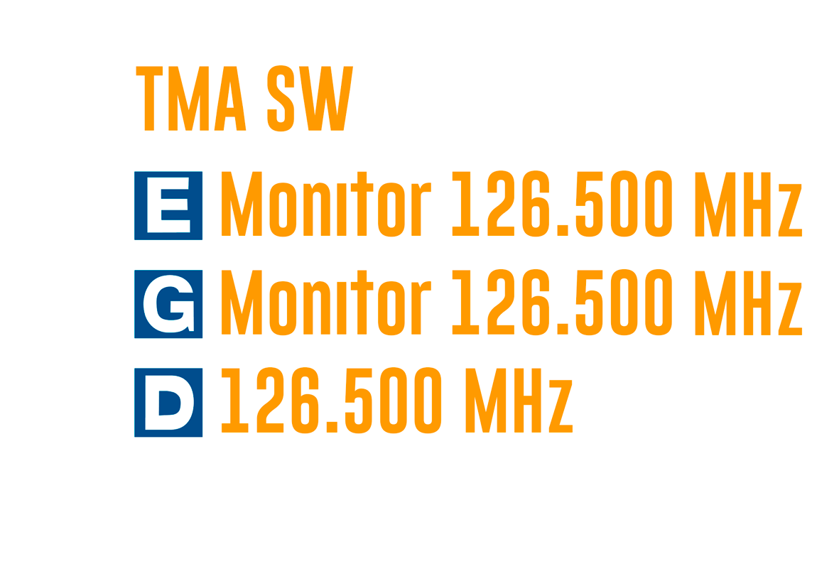
Identification, name and frequency (all optional) |
|
|
|
Airspace classification |
|
|
* |
|
ATZ, FIZ |
|
|
CTR |
|
|
|
FIR |
|
|
|
TMA, CTA, parts of FIR, parts of TMA |
|
|
|
VFR sectors (MAX ALT VFR) |
|
|
|
RVSM |
|
|
* |
|
FPMZ, RMZ, TMZ |
|
* |
|
Speed adjustment area |
|
|
Identification, name and frequency (all optional) |
|
|
* |
|
FBZ, TSA, TRA or prohibited, restricted or dangerous area |
|
* |
|
Idem, from sunrise to sunset (VFR charts) |
|
* |
|
Prohibited area (VFR charts) |
|
* |
|
Restricted area to photographic flight |
|
* |
|
Sensitive fauna |
|
* |
|
VFR prohibited |
|
* |
|
VFR Do not overfly |
|
* |
|
ATS delegation |
|
|
Change of frequency |
|
|
* |
|
Special Protection Area for Birds (ZEPA) |
FLIGHT PROCEDURES
|
* |
|
Procedure segment |
|
|
* |
|
PBN procedure segment (1) |
|
|
|
Airway |
||
|
|
Missed approach |
||
 |
PBN missed approach (1) | ||
|
|
Penetration track (HI-TACAN only) |
||
|
* |
|
Scale break |
|
|
|
VFR route |
||
|
* |
|
VFR routes limits |
|
|
* |
|
Military use only VFR route |
|
|
* |
|
Military use only VFR routes limits |
|
|
|
Communications failure VFR route |
||
|
|
Call sign Radial / Distance (Frequency) |
||
|
|
Altitude / flight level “window” |
||
|
|
“At or above” altitude/flight level |
||
|
|
“At or below” altitude/flight level |
||
|
|
“Mandatory” altitude/flight level |
||
|
|
“Recommended” procedure altitude/ flight level |
||
|
|
FAF |
||
|
|
Area minimum altitude |
||
|
(1) Only in charts with conventional and PBN segments. |
|||
MISCELANEOUS
|
|
Aeronautical ground light |
|
|
|
Visual reference point |
|
|
|
DME |
|
|
|
Radiomarker beacon |
|
|
|
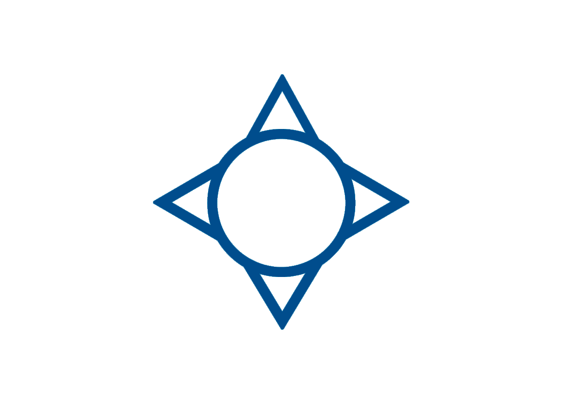
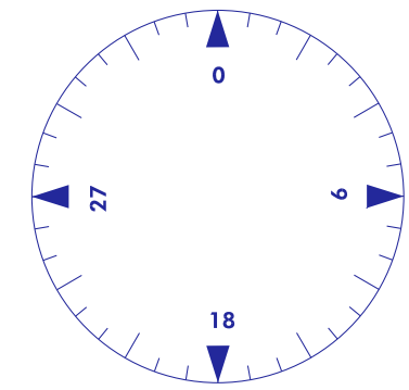
Compass rose (used as appropriate in combination with VOR, VOR/DME and TACAN symbols) |
|
|
|
Basic radio aid symbol |
|
|
|
Instrument landing system ILS and GBAS in profile view |
|
|
|
Instrument landing system ILS and GBAS in plan view |
|
|
* |
|
Castle |
|
|
City, town |
|
|
* |
|
Church, hermitage |
|
|
Marine light |
|
|
* |
|
Highway |
|
* |
|
Road |
|
* |
|
Railroad |
|
* |
|
High-speed railroad |
|
* |
|
Lake |
|
* |
|
Dam |
|
* |
|
River |
|
|
Salines |
|
|
* |
|
Isogonic line |
|
|
Runway |
|
|
|
DME reference fix |
|
|
|
Collocated DME reference fix and marker beacon |
|
|
|
Radio navigation aid |
|
|
|
Collocated radionavigation aid and marker beacon |
|
|
|
Radio marker beacon |
ENROUTE CHARTS
|
|
RVSM points |
||
|
|
CDR airways |
||
|
* |
|
Free Route Airspace (FRA) |
|
|
* |
|
FRA points |
|
|
* |
|
RVSM FRA points |
|
|
|
Convetional airways |
||
|
|
RNAV airways |
||
|
* |
|
VORDME /DVORDME FRA radio navigation aids. |
|
|
* |
|
NDB FRA radio navigation aids. |
|
|
* |
|
VORTAC FRA radio navigation aids. |
|
|
* Not included in ICAO ANNEX 4. |
|||
